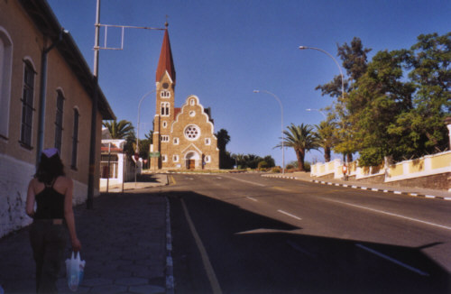
Christuskirche in Windhoek, Namibia's pleasant little capital. The Evangelical Lutheran Church, built in local sandstone was constructed between 1907 and 1910.
|
 |
|
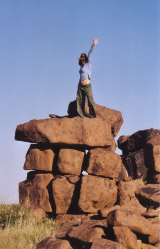
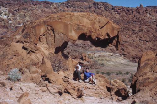
Natural rock formations created by igneous intrusions into overlying sediments around 170 million years ago. When the surrounding sediments eroded away, all that remained was the more resistant Ysterklip or 'iron rock'.
|
|
|
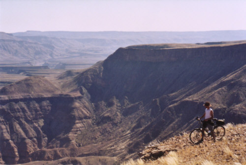
Fish River canyon measures 160 km in length, and up to 27 km in width. The dramatic inner canyon reaches a depth of 550 meters.
|
|
|
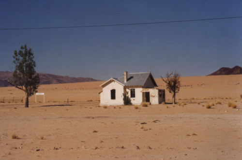
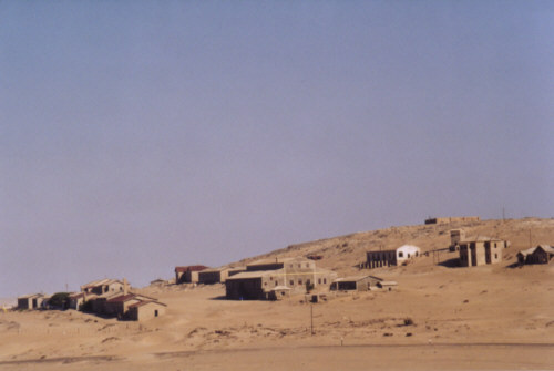
Abandonned train station in the middle of the Southern Namib desert.
|
 |
|
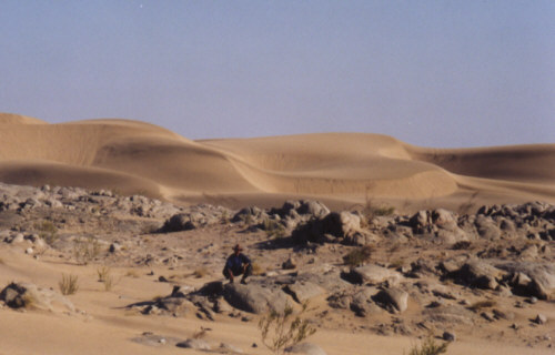
The dynamic Barchan dunes are constantly shifting with the wind. They support a unique ecosystem capable of extracting moisture from the frequent fogs.
|
|
|
Kolmanskop, ghost town located in the prohibited Diamond Area 1. This once thriving mining town was deserted almost 50 years ago, and has now been invaded by the dunes. |
|
|
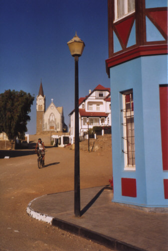
Felsenkirche, Evangelical Lutheran church in the town of Luderitz located on the southern Namib desert coast. This remote town is a surreal colonial relic with charming architecture.
|
|
|
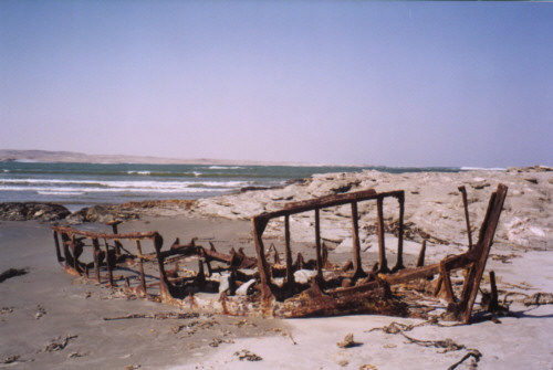
Shipwreck on the windswept beach of Grosse Bucht ('big bay').
|
|
|
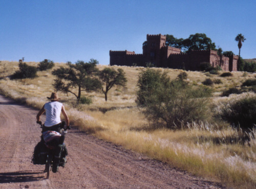
Duwisib Castle is a lovely baroque structure which surprisingly rises out of the central plateau among beautiful hills. It was built in 1909 by Baron Captain Hans-Heinrich von Wolf; most of the raw material used was transported from Germany.
|
|
|
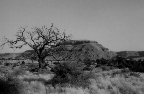
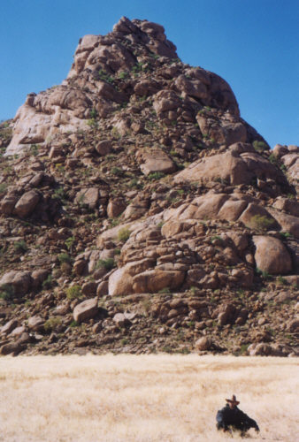
The central plateau is characterized by wide open country dotted with isolated inselbergs.
|
|
|
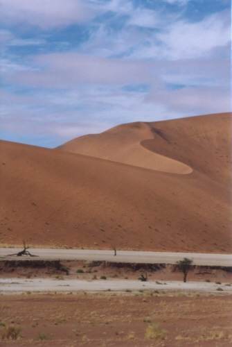
Sossusvlei, a large ephermeral pan set amid parabolic red sand dunes which tower up to 200 meters above the valley floor, and more than 300 meters over the underlying strata.
|
|
|
Namib-Naukluft national park, one of the world's largest national parks, stretches along the coast taking in over 23,000sq km of desert and semidesert.
|
|
|
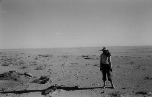
The Namib desert is one of the oldest and driest deserts in the world. These endless grey-white gravel plains transform into a sea of sand on the western coast.
|
|
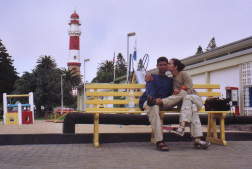
Between the cold Altlantic Ocean and the torrid Namib desert lies Swakopmund, its streets lined with palm trees and brithly coloured flowerbeds. The town, with a population of approximately 18,000 began life in 1892.
|
|
|
Twyfelfontein, located in Damaraland, is the site of one of the most spectacular, largest and longest-running outdoor art exhibitions in the world. Its gigantic, variously angled free-standing rock slabs contain petroglyphs of exceptional variety and quality.
|
|
|
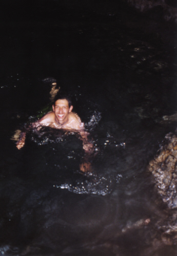
Swimming in an underground lake, 41 meters under the earth surface. This cave by the name of Gamkarab, 'Water Hole', is the wolrd's only source of Pietersite, a beautiful and intriguing mineral.
|
|
|
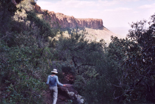
The Waterberg plateau is a 50 km long, 16 km wide Etjo sandstone plateau looming 150 meters above the plain. The national park is also known as a repository for rare and threatened species, including sable and roan antilope and both white and black rhinos.
|
|
|
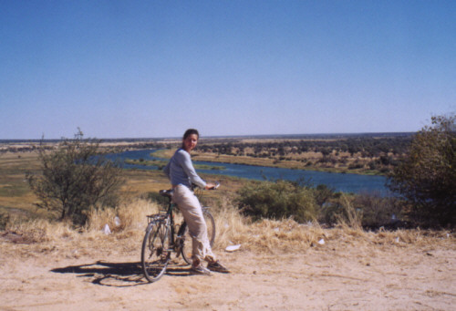
The heavily wooded and gently rolling Kavango region, in northern Namibia, is dominated by the Kavango river and its broad floodplains. Throughout the region people cultivate maize, sorghum, millet and green vegetables along the riverbanks.
|
|
|
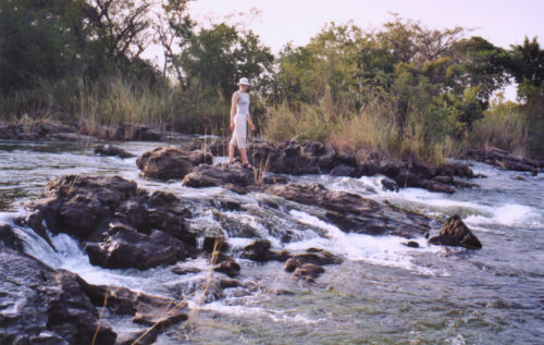
At the western part of the caprivi strip, The Kavango river plunges down a broad series of cascades known as Popa Falls.
|
|
|
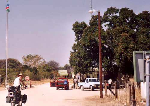
Mahengo border crossing between Namibia and Botswana - Namibian side.
|
|